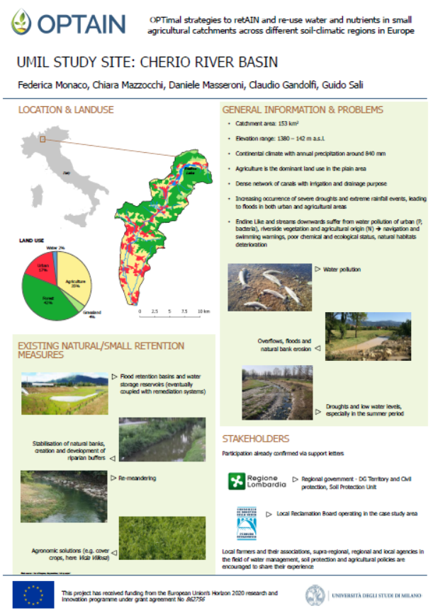
The Cherio River basin is located in the eastern part of Bergamo province, Lombardy region. It extends from the pre-alpine reliefs to the irrigated plain area, down to the confluence of Cherio River into Oglio River. The catchment area is about 153 km2, broken down mainly into forest (42%) and agricultural (39%) land. The territory is vulnerable to overflows and flooding events, which requires constant reclamation activities. Moreover, the increasing water withdrawals form Cherio River for industrial and agricultural purposes compromises the possibility to ensure environmental flows, especially during summer and drought periods. Pollution from nitrogen, phosphorous and wastewaters finally contributes to deteriorate the overall water quality.
OPTAIN seeks the involvement of local actors to identify strategies and solutions for an efficient water management, aimed at ensuring quali-quantitative standards to safeguard natural and aquatic habitats and to support an agricultural system deeply dependent on water resource.
Contact: federica.monaco@unimi.it

